Cartes à l'échelle communale

  • project image
    Plan d'actions concertées de Mare Longue

    Load the map View metadata

  • project image
    La Plaine des Palmistes

    Load the map View metadata

Parc national de La Réunion

  • project image
    Charte du Parc national 2014 - 2017

    Load the map View metadata

  • project image
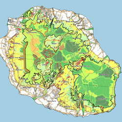
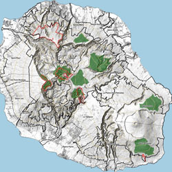
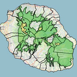
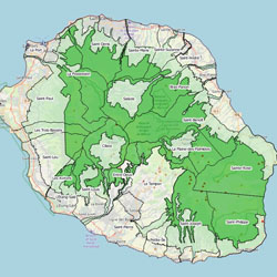
    Parc national : Reglementation des manifestations publiques en vigueur au 01/01/2023

    Load the map View metadata

  • project image
    Parc national : Espaces à enjeux

    Load the map View metadata

  • project image
    Parc national : Survol réglementé en vigueur au 01/01/2023

    Load the map View metadata

La Réunion

  • project image
    PLU raster

    Load the map View metadata

  • project image
    Pollution lumineuse

    Load the map View metadata

  • project image
    Réglementation des prises de vue et de son

    Load the map View metadata

  Base Layer

project image

Title
Parc national de La Réunion 

Projection
EPSG:2975 

Extent
306839.45163718634, 7633763.6918658065, 388185.77162147535, 7691376.712757905

Web Map Service
WMS Url
WMTS Url

 Print 

 Measures